Blue Hills Backpacking Trip
Saturday, June 25 -
Sunday, June 26, 2011
Milton, MA

Blue Hills Backpacking TripSaturday, June 25 - |
|
|
See our actual trail (GPS data recorded by ASM Keith MacNeal): Trimble Outdoors |
||
 |
 |
 |
 |
 |
 |
 |
 |
 |
 |
  |
 |
Article by Keith MacNeal, originally posted on Trimble;
Detailed information on the Blue Hills Reservation can be found at http://www.mass.gov/eea/agencies/dcr/massparks/region-south/blue-hills-reservation.html. Camp Sayre is a Boy Scout Camp operated by the Boston Minuteman Council. Tent sites, Adirondack Shelters and Cabins are available for rent.
The DCR and AMC offer detailed maps of the area. Trail intersections are well marked with numbers that correspond to numbers on the maps.
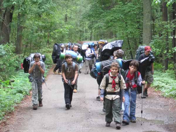
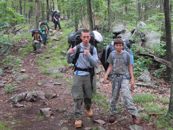
Day 1: The trip starts at the Ponkapaug Golf Club/MDC Skating Rink. Cars cannot be left overnight -- they will be towed. We dropped off the Scouts and parked the cars at Camp Sayre, shuttling the drivers back.
The route follows a cart path in the golf course to the Ponkapaug Pond Dam to pick up Redman Farm Path. The trail travels around the marsh at the western end of Ponkapoag Pond. There is a side trail that goes out into the marsh and uses floating platforms. Ponkapoag Pond is also the site of an AMC campground. The route continues past the entrance to a YMCA camp. Soon you will emerge from the trees and find yourself at a parking area with a kiosk. Follow Blue Hill River Road across I93 to the entrance of the Houghton Pond Ballfields. The route heads back into the woods a little ways past the restrooms, heading north skirting the eastern end of Houghton Pond. The route passes by Breeze Hill on the way to join up to the South Skyline Trail.
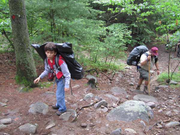
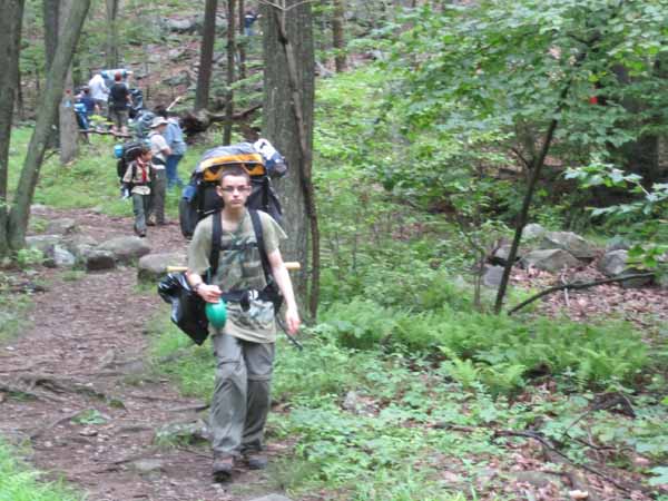
We followed South Skyline Trail heading east, stopping to have lunch on Tucker Hill. Route continued to Buck Hill where there are great views of Boston Harbor and the Boston skyline. From there the route heads NW to Unquity Road. Cross Unquity road and a few hundred yars to the north is a trail heading into one of the back gates of Camp Sayre.
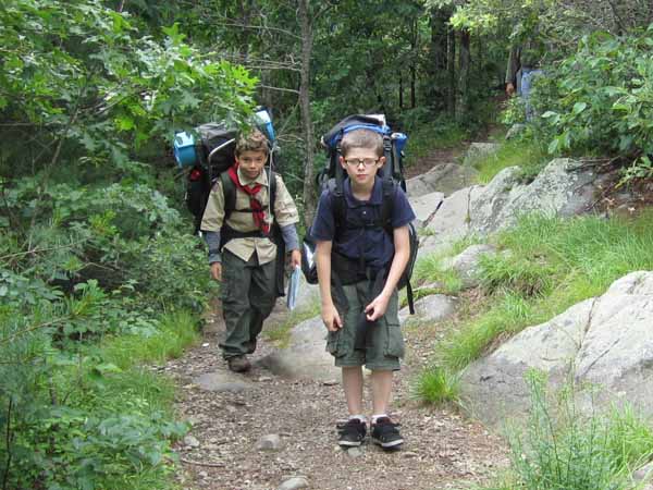
Day 2: We broke camp and headed SW towards Great Blue Hill. Our route took us along Border Path to Wildcat Notch Path to North Skyline Trail to the stone tower on Great Blue Hill. The hike up is short but steep. The rocks form a natural stair case. After breaking for lunch, we headed down the hill along Cliff Path to the Trailside Museum.
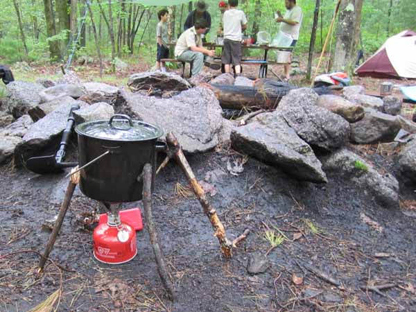
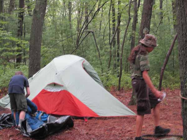
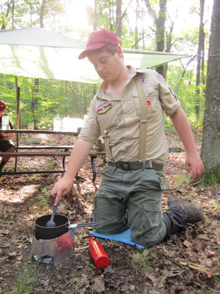
Photos by Joshua Froimson. Page updated 3/5/17 |