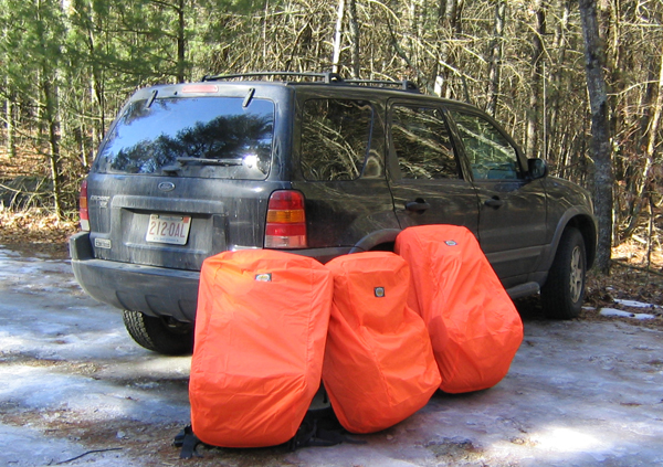
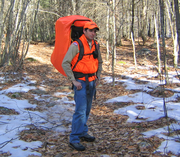
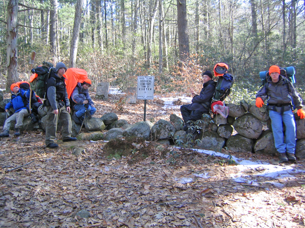
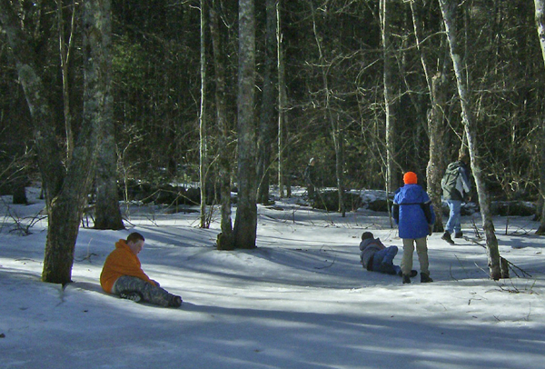
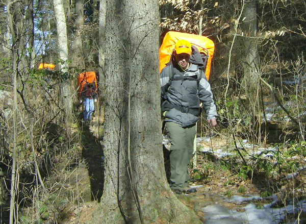
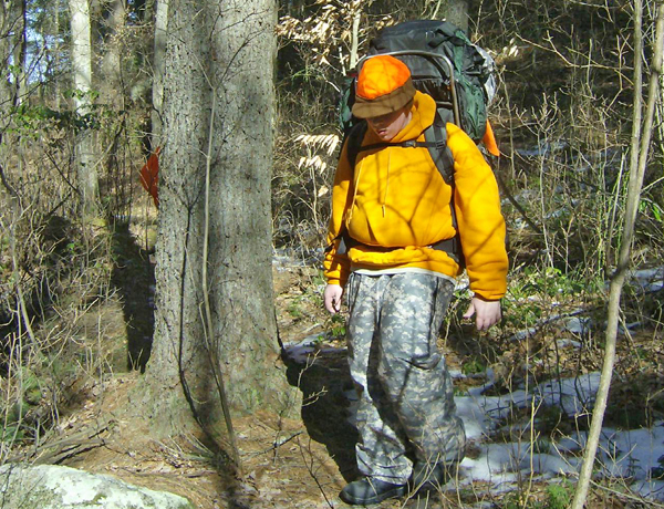
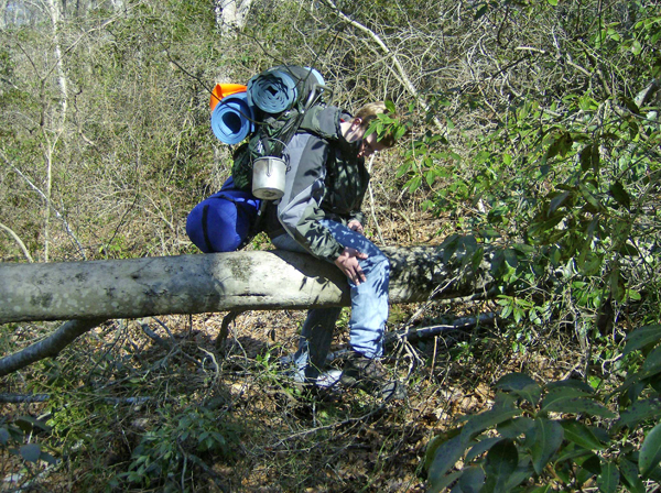
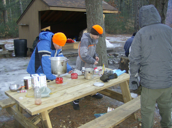
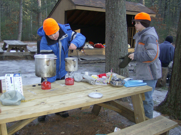
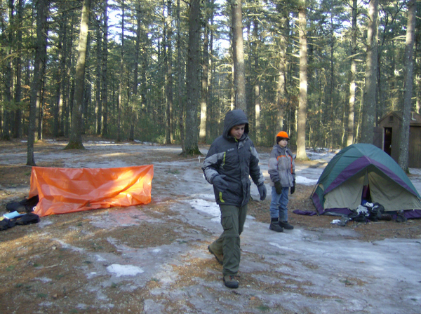
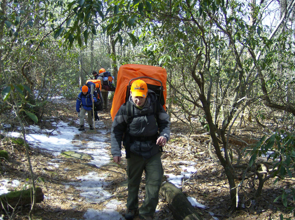
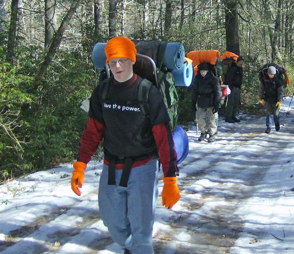
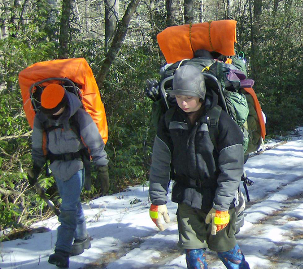
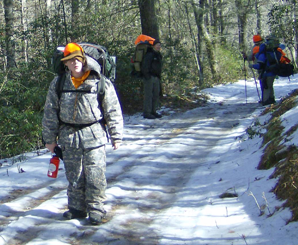
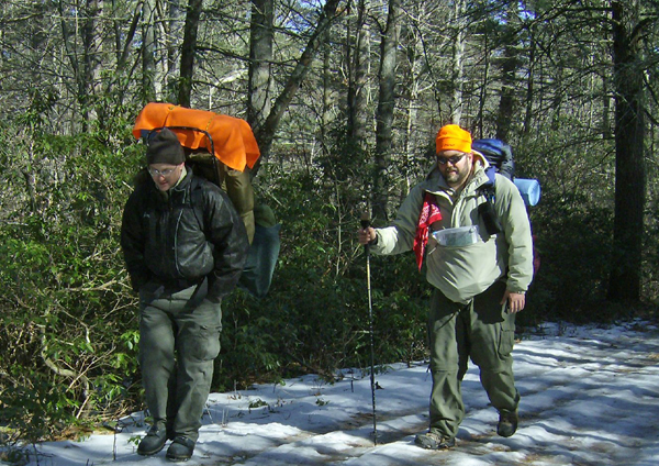
We had seven Scouts and three leaders on this trip. With an overnight low of about 17°F and little snow on the ground, conditions were pretty mild. Patches of ice on the mostly level trail and all over the camping site were enough to remind us that ice shoes or other ice gear would be necessary if we hit ice on steeper ground. The hike in and out was one of our easiest yet. We found that our propane / isobutane stoves performed relatively poorly, even with cartridge "cozies" and handwarmers under them. The one white gas stove on hand delivered solid performance. Our stylish hunter orange gear was required by the area to warn off hunters. The camping area itself was well posted as a "no hunting" zone. View our actual trail (GPS data recorded by ASM Keith MacNeal: Trimble Outdoors | ||
 |
 |
 |
 |
 |
 |
 |
 |
 |
 |
 |
 |
 |
 |
 |
 |
 |
 |
|
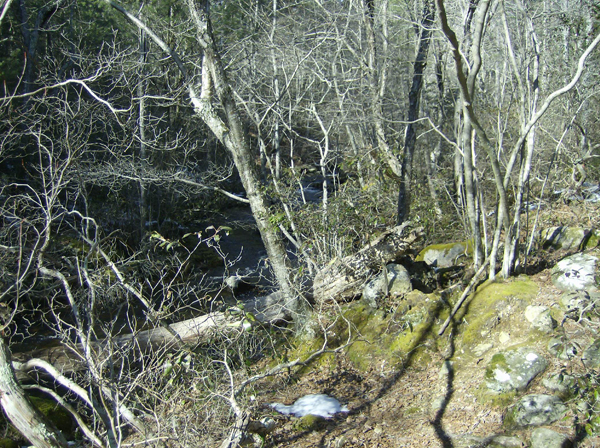
Text from Keith MacNeal's article on Trimble Outdoors: A 2 day trek through part of the Arcadia Management Area in Rhode Island. We parked off of Route 165 and took the John B Hudson Trail north towards Breakheart Pond. The John B Hudson Trail ends at Austin Farms Road. We followed Austin Farms Road NW to a trail on the eastern side of the pond. We followed this trail in a northerly direction to Hicks Trail and follwed that south around the west side of the pond to Austin Farms Road. From there we followed another trail south to and intersection with the JB Hudson Trail. We took a trail west that followed Breakheart Brook to Frosty Hollow Road. From there we hiked north to the shelter. On Day 2, the scouts decided they didn't want to hike around the pond again, so we took a shorter route back to the cars. The Frosty Hollow Shelter sleeps 6. There is a fire ring, picnic tables, and a latrine. There is plenty of room for tents. Permit is required. Photos from the trip are posted on the Troop website troop54.froimson.net/Camping_090215.htm Good trail maps for the area are hard to find. Many show trails, but no names for the trails. There are several geocaches in the area. | ||